Scene XXI · A day's drive
When the marshes turn white
Winter floods the low meadows west of Bayeux. Here, local words, four rivers, nesting white storks and a very large regional park meet.
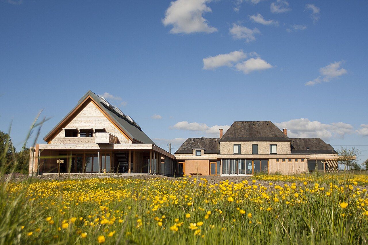

What does winter do here? It floods the low meadows, spreading water across them. Locals say the marshes have turned white; no paint is involved.
Why call them white? The phrase belongs to the winter marshes, not another place. It is a plain local description, and a good one. The water is the mechanism; the phrase records what winter does.
Which marshes are these? The marshes of the Cotentin and Bessin form a regional nature park. The park was created in 1991.
How large is the park? It covers about 150,000 hectares. That is a broad landscape to hold in one question.
Does the name tell the whole story? Not quite; the rivers offer another way in. Four rivers drain into the Bay of Veys.
Which rivers? Aure, Vire, Taute and Douve. Their names are worth keeping together; separating them would spoil the answer.
Where do those rivers go? They drain into the Bay of Veys. The bay is where their routes meet the coast.
What does the water do in winter? The low meadows flood. That is the change behind the local phrase.
Is white a precise description? It is the phrase locals use. A colour chart would be a rather fussy addition.
What lives among these marshes? White storks nest here. The birds make the wet landscape more than a story about water.
Does the bird detail change the map? No; it gives the map another layer. The rivers still lead towards the Bay of Veys.
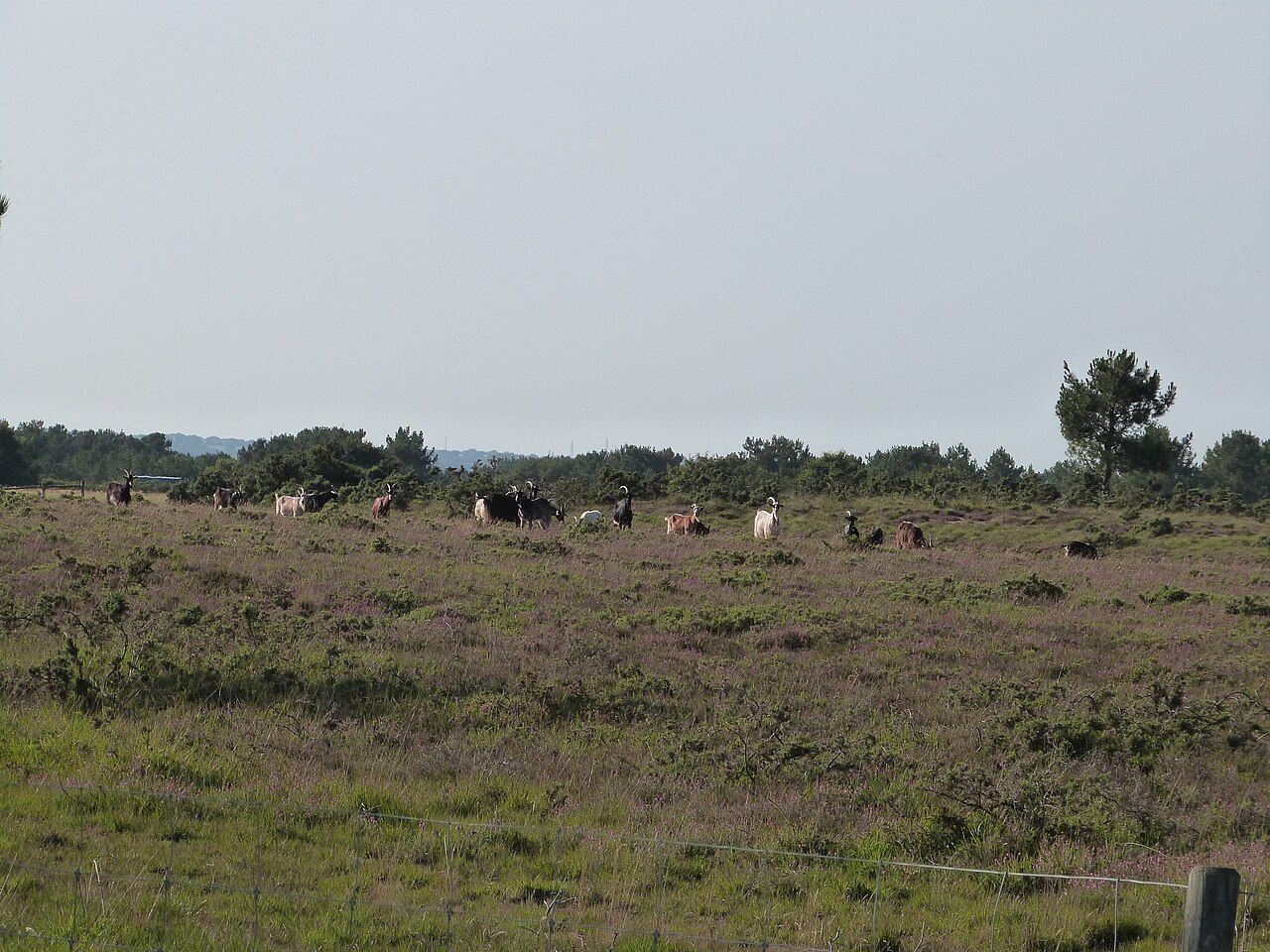

Where is a useful point of orientation? Carentan is about 45 km west of Bayeux. The marshes lie in this wider western landscape.
What is at Saint-Côme-du-Mont? The park's visitor centre is there, near Carentan. Its location gives the park a named point on the map.
Is that the whole park in one stop? No; the park covers about 150,000 hectares. A visitor centre and a landscape are different scales.
What makes the winter story easy to follow? Start with the low meadows, then follow the named rivers. Their destination is the Bay of Veys.
And where do the white storks fit? They nest in the marshes. There is no need to make them carry the entire story.
What is the small pleasure in these names? Cotentin and Bessin sit together in the park's name. Aure, Vire, Taute and Douve make another memorable sequence.
Does the landscape need a grand explanation? Not really; water, meadows and river names do useful work. The joke about paint can stay modest.
Where does the park's name lead next? It leads back to the marshes of the Cotentin and Bessin. The regional scale is part of the point.
For another regional name with a food story, follow the town with the protected butter.
Pull the next thread: Mont-Saint-Michel, without the crush
What remains after the names and figures? Winter flooding, nesting white storks, and rivers meeting the bay. Which part would you follow first?
- How far from the cathedral about 45 km west
- Where exactly Carentan and the Bay of Veys
Mont-Saint-Michel, without the crush • The tapestry, scene by scene