So what is there around Bayeux, once you have seen the tapestry?
Bayeux and the Bessin, question by question
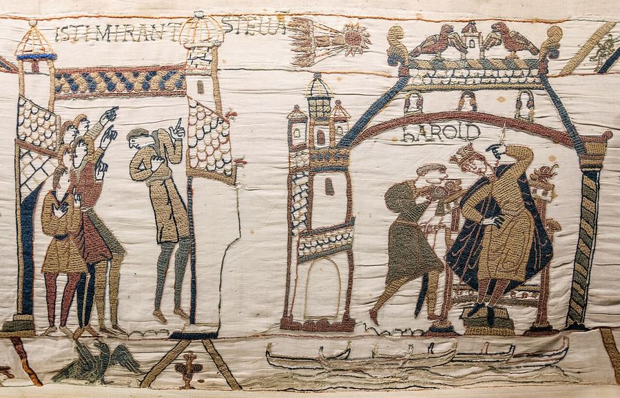
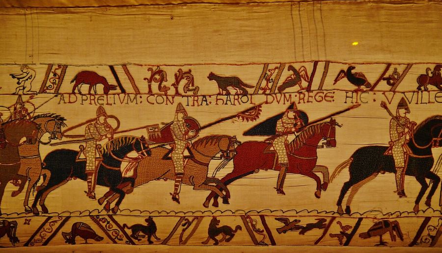
What is this corner of Normandy? Bayeux is a cathedral town of about 13,000 people. It is known for an embroidered account of England’s Norman conquest in 1066. Bayeux was mainland France’s first town freed in 1944, on 7 June. Where does it sit? Beside the river Aure, about seven kilometres from the sea. The Bessin brings hedged farmland, orchards, pastures and stone farmhouses. North, D-Day beaches follow the coast. These pages follow Bayeux, the Bessin, the coast, butter and apples, and a day’s drive. Butter, cream, cider, calvados and cheese belong to the region’s food.
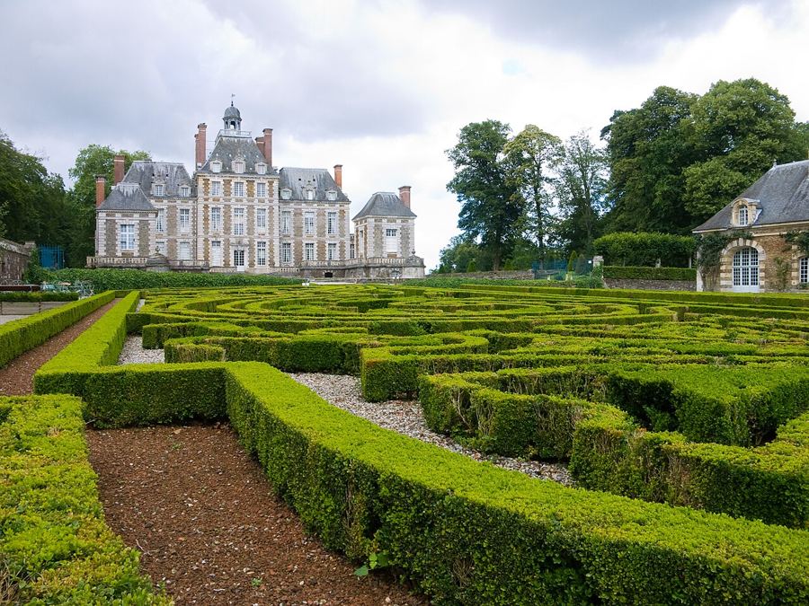 The Bessin bocageBalleroy: the château at the end of the street
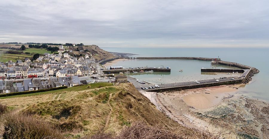 SeawardPort-en-Bessin: scallops, stone and cliff paths
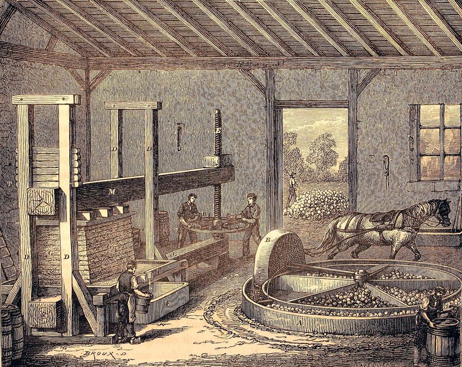 Butter and applesCider, pommeau and calvados: the orchard in a glass
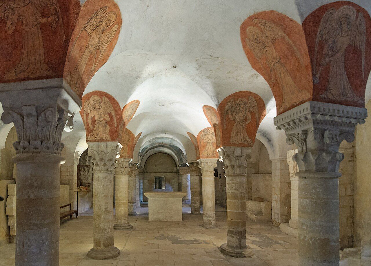
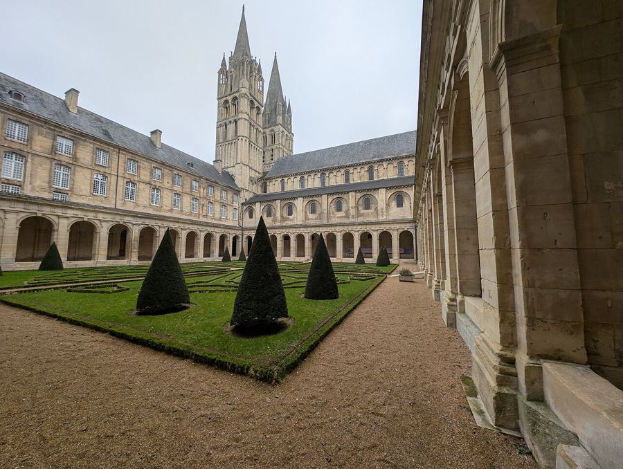 A day's driveCaen: two abbeys, a castle and the memory of 1944
Bayeux itself
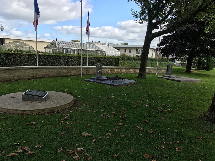
What is Bayeux? A small cathedral town in Calvados, Normandy, on the Aure. It lies about 7 km inland from the Channel coast. Bayeux is the capital of the old Bessin district around it, and came through summer 1944 almost undamaged.
The Bessin bocage
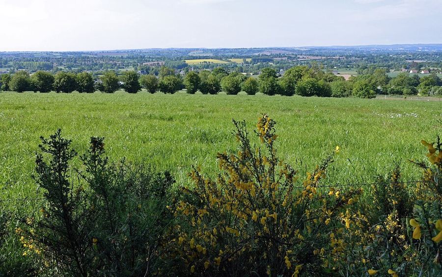
What makes the Bessin bocage? Fields sit behind hedges on earth banks, boxing in farming country between the Seine bay and the Vire. Normande cows graze the meadows, brown and white with dark patches round their eyes. Cider apple orchards stand beside many farms.
Seaward
What is the Bessin coast like? It runs from cliffs near Port-en-Bessin to the sands of Arromanches. Allied landings came ashore here on 6 June 1944. The GR223 follows the clifftops, while fishing boats still work from Port-en-Bessin.
Butter and apples
What holds Normandy cooking together? Butter, cream, apples and cheese. Cider and calvados come from regional apple orchards; the milk comes from Normande cattle grazing the pastures. Normandy has four cheeses with a protected name.
A day's drive
Where does a day's drive point? Caen, the regional city, lies about 30 km east of Bayeux. Honfleur is about 90 km east, at the Seine's mouth. Westward, the Cotentin and Bessin marshes spread out. Mont-Saint-Michel lies about 120 km south-west.
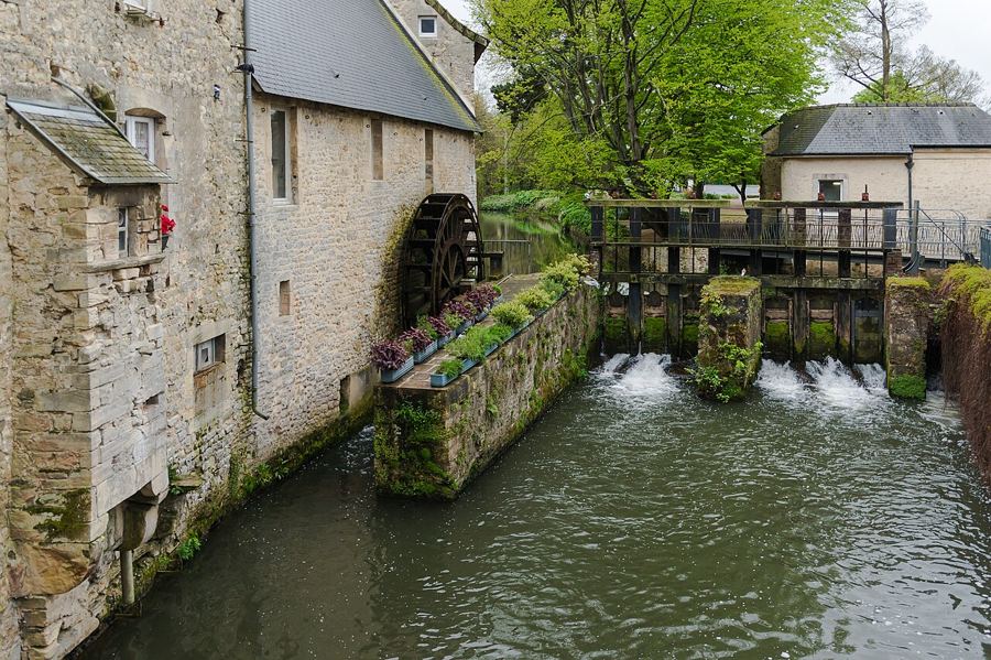
How is the area arranged? Bayeux sits inland on the Aure, with the coast to the north. Hedged Bessin farmland spreads around town, while D-Day beaches follow the northern shore. How does rail fit? Paris-to-Cherbourg trains stop at Bayeux; Caen is about 20 minutes away by train.
Credits: Myrabella (BY-SA 3.0); Jean-Christophe BENOIST (BY 2.5); Myrabella (BY-SA 3.0); Louis Figuier (BY 2.0); Andy Li (CC0); Myrabella (Public Domain); Jebulon (CC0); Anonymous Unknown author (CC0); Dave osm (BY-SA 4.0); Zairon (BY-SA 4.0); Roi.dagobert (BY-SA 3.0); Ibex73 (BY-SA 4.0); Goéland (BY-SA 4.0)


