Scene XIII · Seaward
Arromanches and the Harbour Towed Across
A harbour made in Britain, towed across the Channel, then set into a working shape off Arromanches.
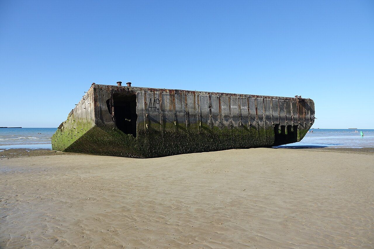

What catches the eye off Arromanches? At low tide, many concrete caissons still show in the sea. They are remains of an artificial harbour built here in June 1944. The harbour’s shape is still easier to imagine than its full machinery.
Why build a harbour here? Its job was to land supplies. The parts were made in Britain, then towed across the Channel. That simple description hides an enormous piece of practical engineering. It also makes the harbour sound like something delivered in sections.
What was the harbour called? It was known as Mulberry B, or Port Winston. Two names for one harbour seem generous. I like the extra label; the sea has plenty of room for it. The names belong to the same structure, not separate harbours.
How did the outer barrier work? Huge concrete caissons were sunk in a curve. That curve made the breakwater, giving the harbour its protective shape. The engineering is plain to read in outline: concrete sections, arranged together, changing the water around them.
What connected the harbour to land? Floating roadways linked the pierheads to the beach. The distinction matters: the caissons made the breakwater, while roadways carried the connection shorewards. A harbour is not just a barrier sitting offshore; it needs a route between sea and beach.
Where should the eye go now? Look out to sea off the town. Many caissons still lie there, and show at low tide. The remains are not a complete harbour, so I would skip looking for one tidy outline. The useful clues are separate pieces, spread across the water.
What does low tide change? It makes the surviving caissons show. That is the fact worth carrying into the view, rather than expecting every part of the harbour to appear. Some of its structure remains offshore; its original working arrangement is easier to understand through the pieces.
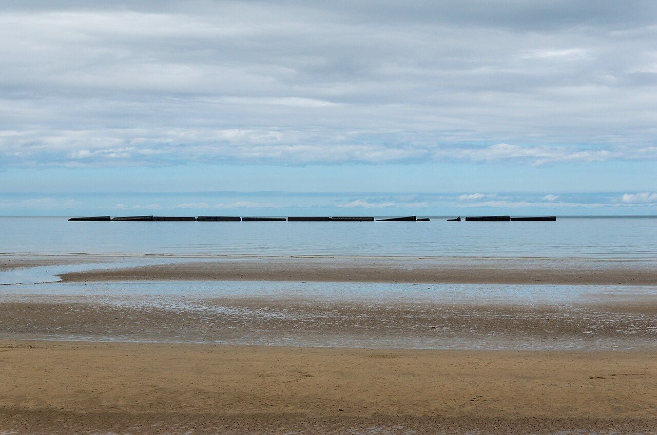

What should the remains tell us? Start with the curve, then think about the roadways. One made a breakwater; the others linked pierheads and beach. This is a satisfying bit of mechanism: separate components doing different jobs, all serving the same task of landing supplies.
Is there another place to look? A circular cinema stands on the cliff east of town. Its position is clear, even if the harbour itself remains offshore. The cliff gives another point in the town’s geography; it does not replace the sea as the place to find the caissons.
How does Bayeux fit into the picture? Arromanches is about 10 km north-east of Bayeux. That places the harbour story close to the town, while keeping its machinery out at sea. The distance is modest; the scale of the harbour’s parts is another matter.
How should this place be read? Follow the difference between barrier, pierheads, and beach. The caissons formed a curve, and floating roadways bridged the remaining gap. I would leave the idea of a single solid monument behind. This harbour was a working arrangement of parts.
For another story along this stretch of coast, continue with the white crosses above Omaha.
- Arromanches-les-Bains.
- About 10 km north-east of Bayeux.
Pull the next thread: Port-en-Bessin: scallops, stone and cliff paths
- How far from the cathedral about 10 km north-east
- Where exactly Arromanches-les-Bains
Colleville and Omaha Beach: bluff, path, shore • Cider, pommeau and calvados: the orchard in a glass